
Broward County Real-Time Flood Map
Live, crowdsourced flood reports for Fort Lauderdale and all of Broward County. Find out which streets are flooded before you head out.
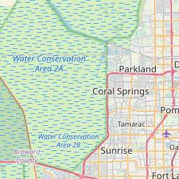
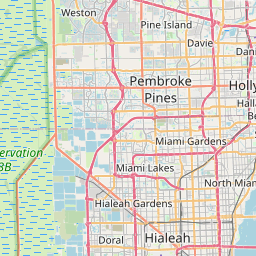


Counties covered
- • Broward County
Why Broward County floods
Broward's flat terrain, dense canal network, and aging stormwater infrastructure make heavy rain a serious problem — especially in Fort Lauderdale's downtown, the beachfront strip, and low-lying areas of Hollywood and Dania Beach. Tropical systems and king tides routinely overwhelm drains.
Cities and neighborhoods covered
- • Fort Lauderdale
- • Hollywood
- • Pembroke Pines
- • Pompano Beach
- • Davie
- • Plantation
- • Coral Springs
- • Sunrise
- • Weston
- • Deerfield Beach
- • Tamarac
- • Miramar
Recent reports in Broward County
No active official flood alerts are showing for this area right now. Open the live map to check community reports nearby.
Report flooding in Broward County
See water on a street? Submit a report in 30 seconds — you'll help every Broward County driver behind you avoid it.
Get alerts for your area
Save your home, work, and your kids' schools as watched zones to get notified the moment flooding is reported nearby.
Broward County flood zones
FEMA's National Flood Hazard Layer designates much of coastal and low-lying Broward as Special Flood Hazard Area — primarily Zone AE (1% annual chance flood, base flood elevations established) along the Intracoastal, the New River corridor, and canal-adjacent neighborhoods, with Zone VE (coastal high hazard) along parts of the beachfront and Zone X (moderate-to-minimal hazard) further inland. Zone designations affect insurance requirements and disclosure obligations, and FEMA revises them over time — always verify a specific parcel on the FEMA Flood Map Service Center. On the Floodi live map you can toggle the FEMA flood-zone layer to see these zones as context alongside real-time reports.
Managing properties or communities in Broward? Request a Floodi pilot for portfolio-wide flood visibility, or see Floodi for emergency management for the county/municipal integration path.